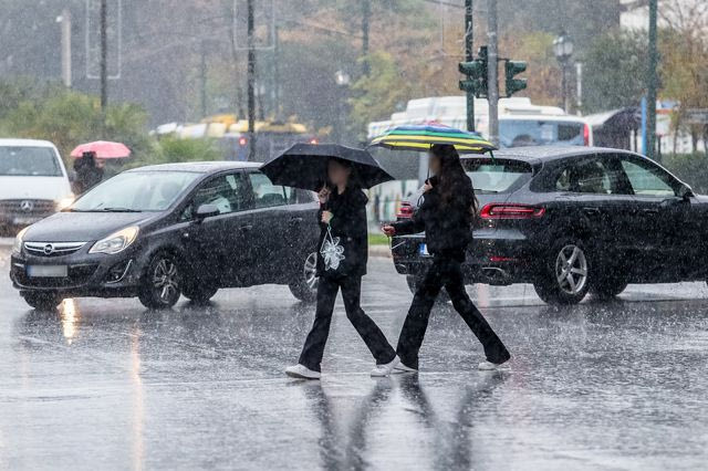
Breaking weather bulletin – Storms, gale-force winds and African dust on the way
Διαβάζεται σε 3'
A deterioration in the weather from Saturday evening through Sunday is forecast by the Hellenic National Meteorological Service (EMY), with heavy rainfall expected in western and northern Greece.
- 14 Φεβρουαρίου 2026 14:36
An emergency weather deterioration bulletin has been issued by EMY, according to which heavy rain and thunderstorms are forecast from tonight through Sunday afternoon in areas of western and northern parts of the country.
According to the bulletin, rain and thunderstorms are expected in Corfu, Paxos, Epirus, eastern Macedonia and Thrace. The phenomena will last until Sunday afternoon.
Regarding winds, gale-force winds up to 8 Beaufort will blow tonight in the Ionian Sea, while on Sunday they will reach 9 Beaufort in the Aegean Sea.
Beyond the storms and rainfall, significant transport of African dust is expected.
More specifically:
Heavy rain and thunderstorms are forecast from tonight through Sunday afternoon in areas of western and northern Greece.
a. In the Corfu – Paxos area from Saturday evening, 14-02-2026, until Sunday morning, 15-02-2026.
b. In Epirus from tonight through midday Sunday, 15-02-2026.
c. In eastern Macedonia and Thrace on Sunday (15-02-2026) from the late morning hours until late afternoon.
Very strong to gale-force southerly winds will blow tonight in the Ionian Sea (7 to 8 Beaufort) and on Sunday in the Aegean Sea (8 and in its eastern parts 9 Beaufort).
Meteorological conditions favour significant transport of African dust to eastern Greece, mainly affecting the southern and central regions (Peloponnese, Crete, eastern Central Greece including Attica, the Cyclades and Evia).
Intense transport of African dust – Areas to be affected
A new wave of Saharan dust transport is expected to affect Greece from today, Saturday 14 February, according to the information hub on atmospheric composition in Greece, AtmoHub.
Specifically, as AtmoHub reports, following the passage of the low-pressure system and the temporary cessation of rainfall, a new episode of Saharan dust transport originating from regions of Algeria and Libya is expected to affect the country from Saturday onward.
The phenomenon will initially impact eastern Greece and will then expand across the entire country, reaching even the northern regions.
According to AtmoHub, the dust transport episode is expected to last from Saturday through the beginning of next week, peaking on Sunday.
The areas most heavily affected will be southern and central Greece (Crete, the Peloponnese, Central Greece and the islands of the Aegean and Ionian Seas). In northern regions, the combination with rainfall is expected to cause muddy rain.
You can monitor the forecast and the evolution of the phenomenon, based on data from the Copernicus Atmosphere Monitoring Service (CAMS), via AtmoHub’s online portal.
Here you can systematically monitor air quality and the distribution of particles and dust in the atmosphere through the available options.


