Rain and storms ahead of sharp temperature rise to 40°C
Διαβάζεται σε 6'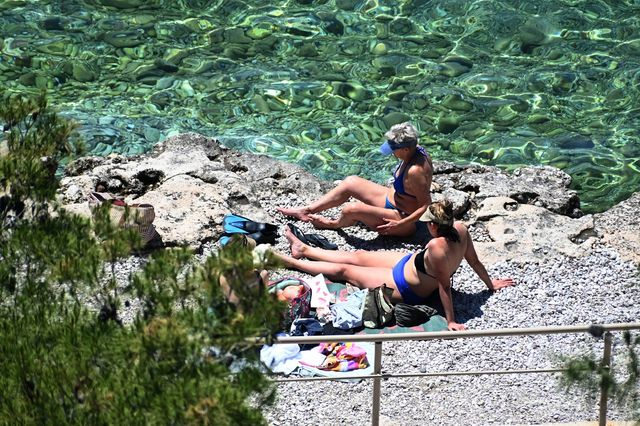
Temperatures are expected to rise toward the end of the week, following rain and thunderstorms. The detailed weather forecast.
- 19 Αυγούστου 2026 08:17
Unsettled weather is expected today, Wednesday (19/08), in various parts of the country, with local rain and thunderstorms forecast.
However, from tomorrow, Thursday (20/08), and even more so on Friday (21/08), temperatures will rise across almost the entire country.
“Thermal anomaly” on the way – What Thodoris Kolydas says
Meteorologist Thodoris Kolydas is warning of a “thermal anomaly” over the coming days, particularly during the period from August 23 to 26.
As he said in a post:
“The ECMWF ENS and GEFS forecasts agree on the general trend, but differ when it comes to the intensity of the warm spell. This difference is significant, as it still does not allow us to say with certainty that a widespread heatwave episode is on the way.
In Athens, the maximum temperature rises gradually from around 32–33°C on August 18 and, according to the ECMWF ENS median, approaches 38°C on August 24–26. GEFS is at times warmer, approaching 39–40°C.
A similar picture is seen in Thessaloniki, where temperatures gradually rise from 32–33°C to 36–37°C, while the increase in minimum temperatures toward 26°C is particularly noteworthy.
In Larissa, as usually happens during warm spells due to its continental climate, the rise is more pronounced. ECMWF ENS puts the maximum temperature close to 37–38°C, while GEFS presents a clearly warmer scenario, with temperatures reaching around 40–41°C.
Finally, in Patras, ECMWF puts the peak at around 37°C, while here too GEFS is warmer, at times approaching 40°C.
A preliminary comparison with the climatological averages for August shows that the forecast maximum temperatures are approximately 4 to 6 degrees Celsius above normal levels, with the possibility that the positive deviation could be even greater locally.
This is therefore a clear thermal anomaly, rather than simply the usual high temperatures of August.”
Weather forecast for Wednesday (19/08)
Generally clear weather with a few clouds, temporarily increasing during the midday and afternoon hours over the mainland and Crete, where local showers will develop mainly in mountainous areas, along with isolated thunderstorms in central and eastern Macedonia and Thrace. Visibility will be locally limited in southern areas during the morning.
Winds in western areas will blow from westerly directions at 3 to 4 Beaufort, while in eastern areas they will be light and variable, locally becoming westerly to northwesterly at up to 4 Beaufort.
Temperatures will not change significantly and will reach 31 to 34°C in most areas, and locally 35 to 37°C on the mainland.
MACEDONIA, THRACE
Weather: Generally clear with a few clouds, temporarily increasing over the mainland during the midday and afternoon hours, when local rain or showers will occur in mountainous areas, with possible isolated thunderstorms in central and eastern Macedonia and Thrace.
Winds: Variable at 3 to 4 Beaufort.
Temperature: From 17°C to 35°C and up to 37°C in central Macedonia.
IONIAN ISLANDS, EPIRUS, WESTERN CENTRAL GREECE, WESTERN PELOPONNESE
Weather: Generally clear with a few clouds, temporarily increasing over mainland areas during the midday and afternoon hours, when local rain or showers will occur mainly in mountainous areas.
Winds: From westerly directions at up to 4 Beaufort.
Temperature: From 20°C to 34°C and locally up to 35°C on the mainland.
THESSALY, EASTERN CENTRAL GREECE, EVIA, EASTERN PELOPONNESE
Weather: Generally clear with temporary cloud cover over the mainland during the midday and afternoon hours, when local rain or showers will develop in mountainous areas.
Winds: Variable at 3 to 4 Beaufort.
Temperature: From 17°C to 36°C and locally up to 37°C.
CYCLADES, CRETE
Weather: In the Cyclades, locally increased cloud cover. In Crete, generally clear with a few clouds, temporarily increasing mainly over mountainous areas during the midday and afternoon hours, when local rain or showers will occur.
Winds: From westerly directions at up to 4 Beaufort.
Temperature: From 22°C to 29°C and 30 to 31°C in Crete.
EASTERN AEGEAN ISLANDS – DODECANESE
Weather: Generally clear with a few temporary clouds.
Winds: Variable at 3 to 4 Beaufort, westerly in southern areas at the same strength, becoming northerly from midday at the same intensity.
Temperature: From 22°C to 33°C.
ATTICA
Weather: Generally clear with temporary cloud cover during the midday and afternoon hours, when local rain or showers may occur.
Winds: Variable at 2 to 4 Beaufort, temporarily becoming southerly at the same strength around midday and in the afternoon.
Temperature: From 20°C to 33–34°C.
THESSALONIKI
Weather: A few clouds, temporarily increasing during the midday and afternoon hours over the surrounding mountainous areas, where local rain or showers may develop.
Winds: Variable at 2 to 4 Beaufort, temporarily becoming southerly at the same strength around midday and in the afternoon.
Temperature: From 19°C to 33–34°C.
Weather on Thursday (20/08)
Generally clear weather, with a few temporary clouds during the midday and afternoon hours over the mountainous areas of the western mainland, where local rain or showers may occur.
Winds will blow from northerly directions at 3 to 4 Beaufort and locally up to 5 Beaufort in the Aegean.
Temperatures will rise, mainly in western areas.
Weather on Friday (21/08)
Generally clear weather, with a few clouds temporarily increasing during the midday and afternoon hours over the mountainous areas of the western mainland, where local rain or showers may occur.
Winds will blow from northerly directions at 3 to 5 Beaufort and locally up to 6 Beaufort in the Aegean.
Temperatures will rise further.
Weather on Saturday (22/08)
Generally clear weather, with a few clouds temporarily increasing during the midday and afternoon hours over the mountainous areas of the western mainland, where local rain or showers may occur. Visibility will be locally limited in western areas during the morning.
Winds will blow from northerly directions at 3 to 5 Beaufort and locally up to 6 Beaufort in the Aegean.
Temperatures will remain largely unchanged.